NEWS
Turquoise shallows to granite peaks: painting a map of Menang Country
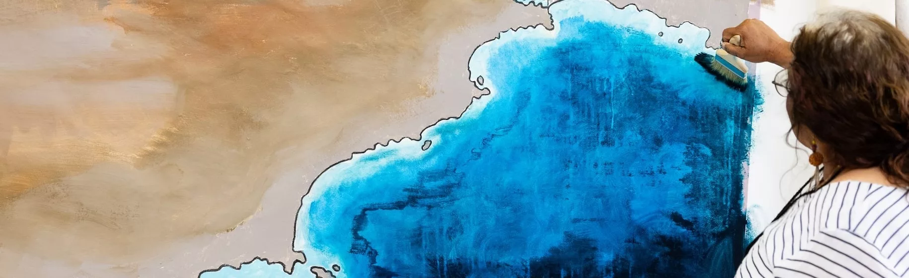
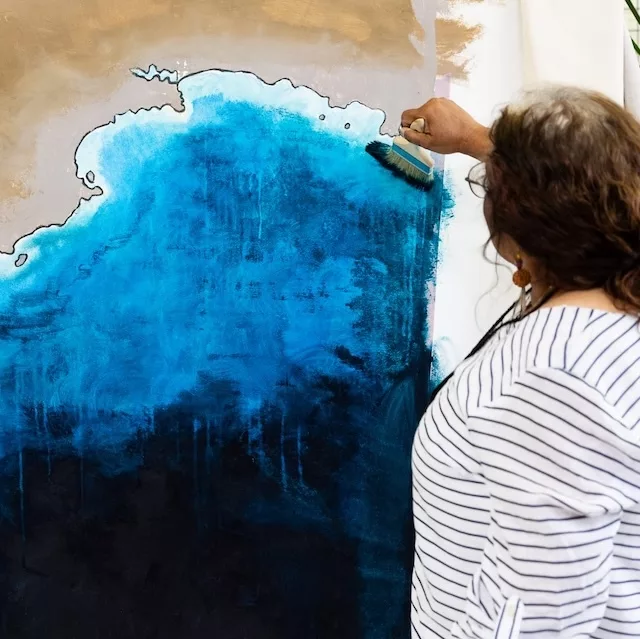
Starting from yarns over cups of tea, the creative process behind Menang’s cultural map has been grounded in consensus, creating a space to hold multiple perspectives.
Although Mapping Menang began in 2025, the relationships that underpin it date back to CAN's 2018 Place Names Albany project. Place Names Albany culminated in the creation of Noongar Boodja, a documentary exploring Menang Noongar placenames, stories and culture, made by young people from Albany with Noongar Elders.
And so the creative process for the Mapping Menang project began with conversations with Menang Elders with whom we had connected during that project and others in the Great Southern region.
Central to the Mapping Menang project is the creation of a community-led cultural map of Menang Country, informed by oral histories, intergenerational community knowledge and archival research. This process has been facilitated by the Mapping Menang team – Producer Nduta Gathoga, Creative Producer and Whadjuk, Balladong and Wilman Noongar artist and independent curator Zali Morgan, Executive Producer Michelle White and Noongar Cultural Advisor Geri Hayden, with support from artist Tegan Jenkins, designer Rebecca Lyon Augustus and The National Trust of WA’s Leanne Brass.
In one-on-one conversations over cups of tea, CAN team members outlined the creative possibilities for a map, and Elders shared their ideas about what the map might represent and what it might look like.
This team of Elders then became ambassadors for Mapping Menang, spreading the word to the rest of the community so effectively that over 60 people turned up for the formal information session to introduce the project to the broader Menang community.
Ann & Tom Photography Videography
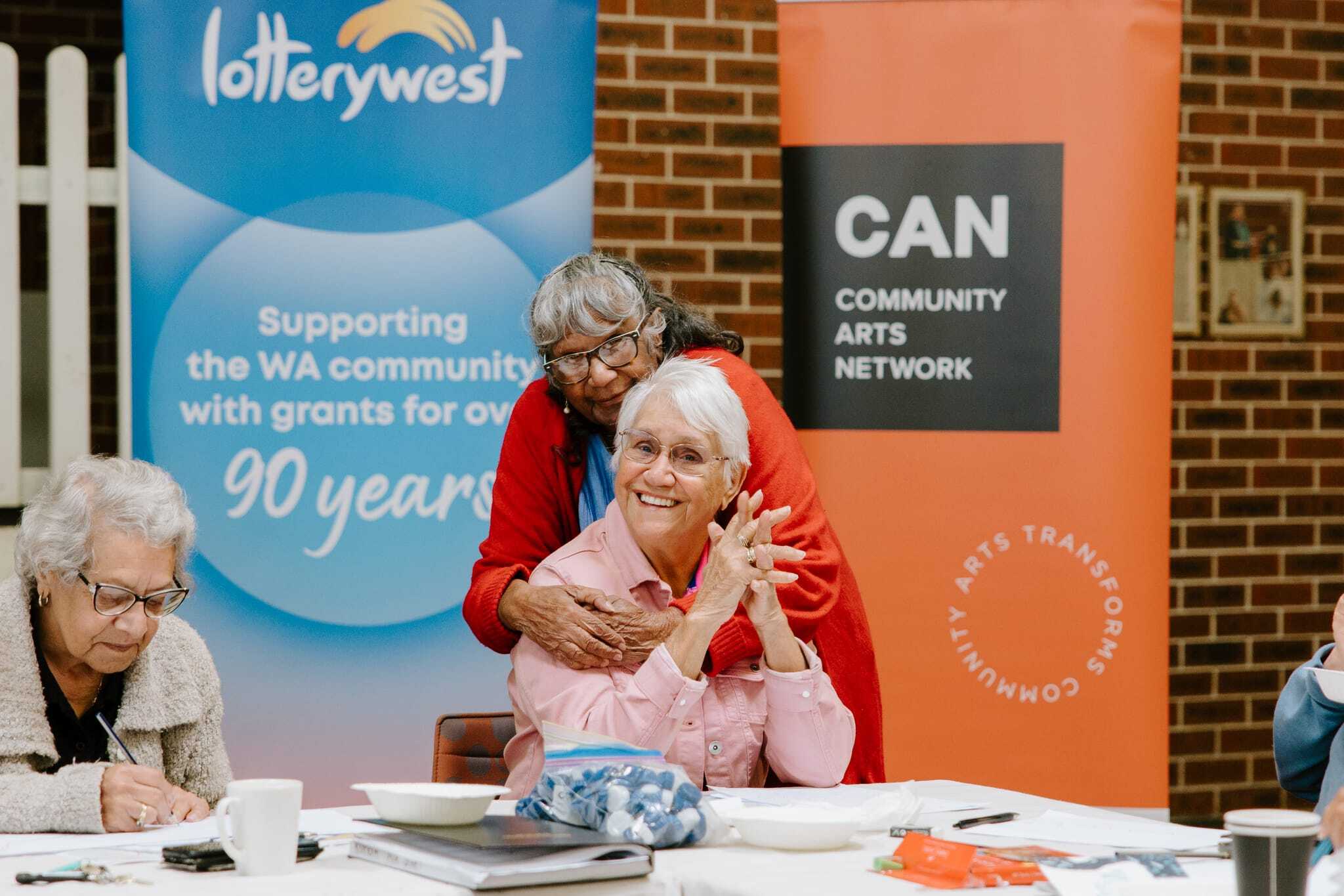
L-R Menang Elders Vernice Gillies, Carol Pettersen and Edith Penny at the Elders-only consensus meeting
Guided by that first group of Elders, CAN then invited an Elder from each of the families represented at the information session to an Elders-only consensus meeting. The invited Elders then selected the area that would be covered by the cultural map, which locations were significant and needed to be represented on the map, and which stories they would like to share about those places.
Ann and Tom Photography Videography
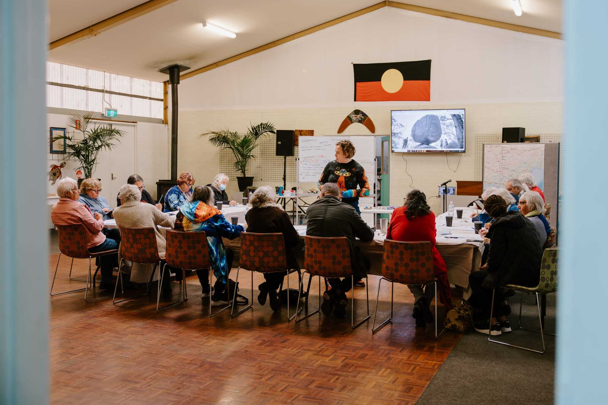
What made consensus possible was that the meeting was grounded in creative practice, creating a space in which it was possible for participants to hold multiple truths. Pictured: Menang Elders during the first creative workshop at the Albany Aboriginal Corporation
One of the most challenging elements of this process was collectively deciding who would create the iconography that speaks to each location. What made consensus possible was that the meeting was grounded in creative practice, creating a space in which it was possible for participants to hold multiple truths.
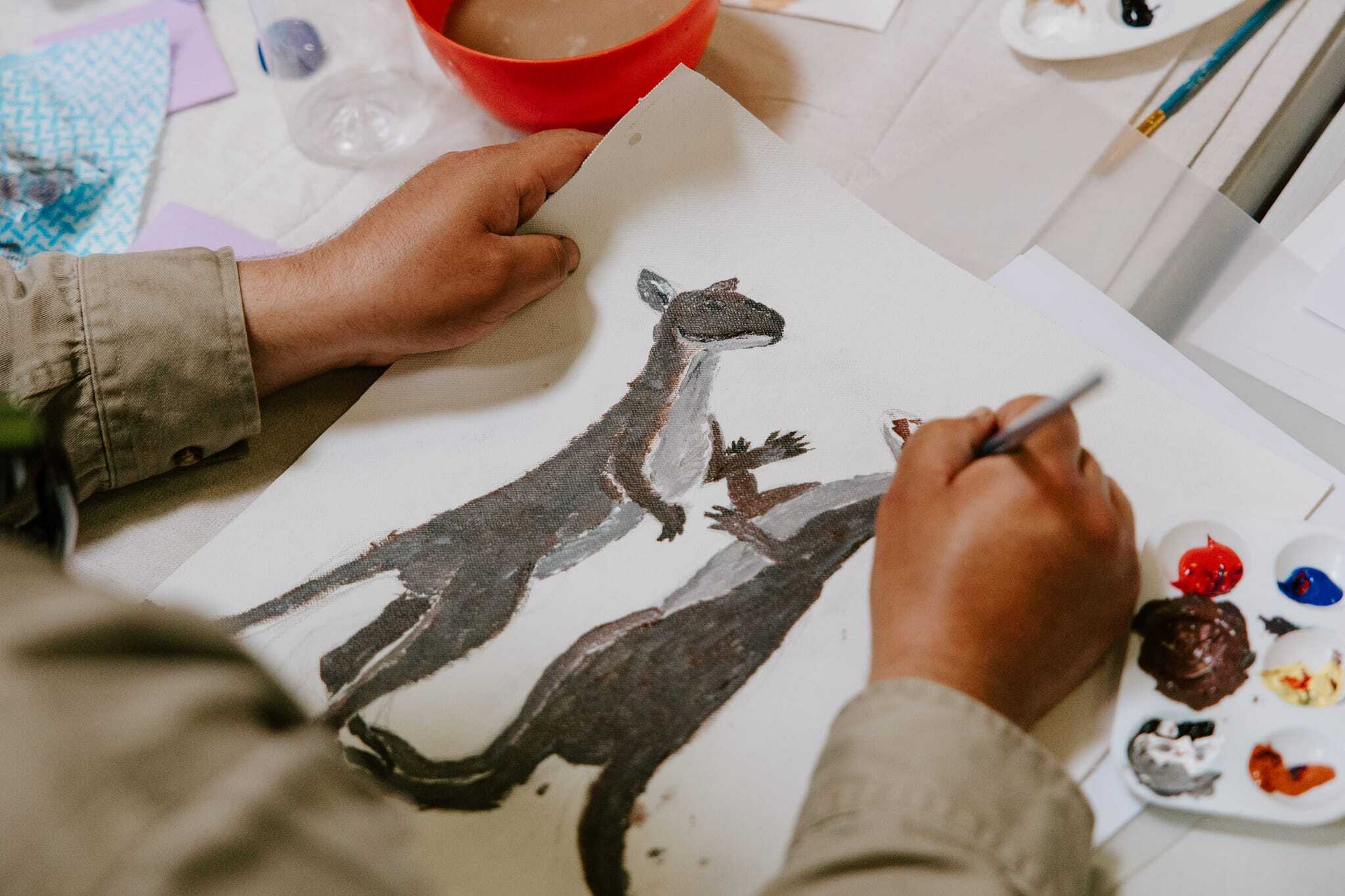
Once consensus was reached, creation of the map began during cultural mapping workshops facilitated by the CAN team and attended by Menang Elders and community members. Pencil was put to paper, then pencil to canvas, and finally paint to canvas.
Ann & Tom Photography Videography
Pencil was put to paper, then pencil to canvas, and finally paint to canvas. Pictured: Menang community member Henry Jones painting his kangaroos
Though many of the Elders involved in the project didn’t believe they were artists, with gentle encouragement and guidance from the team, they began to draw and paint their individual stories and icons of significance.
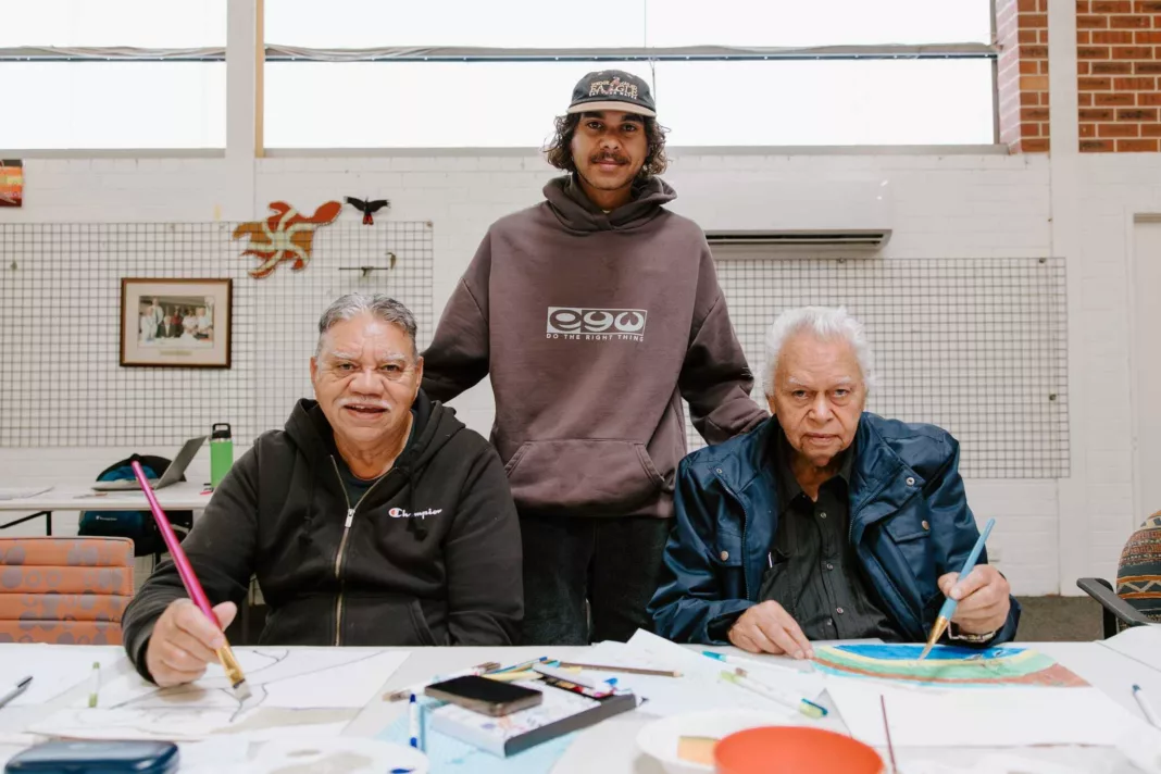 L-R Menang community members Mark Colbung, Cleve Humphries and Menang Elder Glen Colbung during the second cultural mapping workshop
Ann & Tom Photography Videography
L-R Menang community members Mark Colbung, Cleve Humphries and Menang Elder Glen Colbung during the second cultural mapping workshop
Ann & Tom Photography Videography
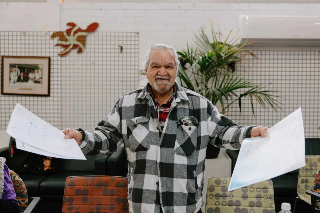 Menang Elder Aden Eades shows off his sketches
Ann & Tom Photography Videography
Menang Elder Aden Eades shows off his sketches
Ann & Tom Photography Videography
By the end of the 2025 workshops, the backdrop of a large-scale canvas map had been painted with an outline of the ocean and the land, ready for the iconography representing stories of the 11 locations to be added in 2026.
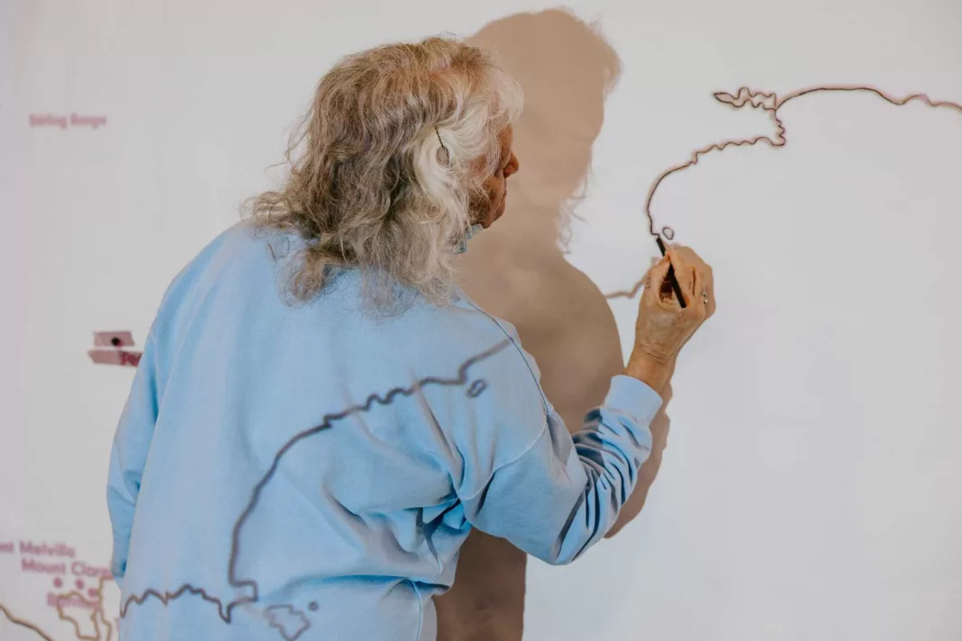 Menang Elder Marie Eades begins outlining the map
Ann & Tom Photography Videography
Menang Elder Marie Eades begins outlining the map
Ann & Tom Photography Videography
 The ocean comes to life
Ann & Tom Photography Videography
The ocean comes to life
Ann & Tom Photography Videography
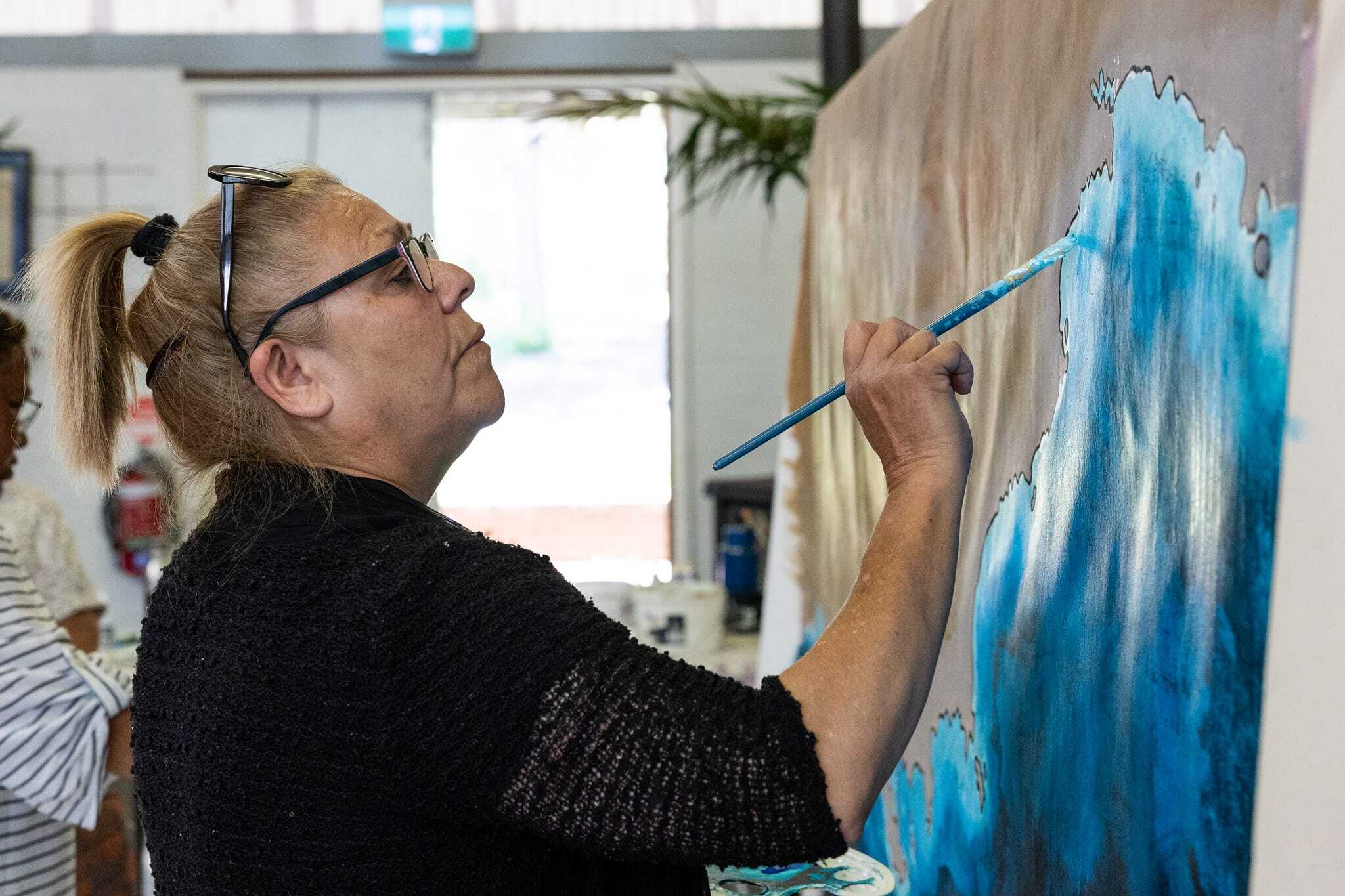
Depicted in colours chosen by community members to represent Country and touched by the hand of every project participant, this outline captured the transition from the turquoise clarity of the shallows to the inky intensity of the deep; starkly contrasted by the land’s granite tones.
Ann & Tom Photography Videography
Menang community member Roslyn Wynne contributing to the map backdrop
You’ll be able to read all about the completion of the map and the audio-visual recording of Elders’ stories in the next instalment of this blog, coming soon!
Top photo: Menang community member Sarah Williams, painting the map // Credit: Ann & Tom Photography Videography
Mapping Menang is produced by CAN in partnership with The National Trust and is supported by Lotterywest and the Federal Government through the Indigenous Languages and Arts program, and the City of Albany’s Albany 2026.


Monday – Friday, 9am – 5pm
PO Box 7514 Cloisters Square WA 6850
King Street Arts Centre
Ground Floor
357–365 Murray Street
Perth WA 6000
08 9226 2422
admin@can.org.au
ABN: 72106364407
Copyright 2026 CAN