NEWS
Keeping the flame of language burning in Bayswater

Between March and July 2024 an advisory group of Noongar Elders and Traditional Owners gathered at The Rise in Maylands to decode the meanings of ancient Noongar placenames from the land in and around the City of Bayswater.
Led by Dr Len Collard from Moodjar Consultancy, a series of workshops uncovered the meanings of five placenames: Birralyn, Malgamongup, Moorordup, Nyurrdup and Woorat.
Cole Baxtor
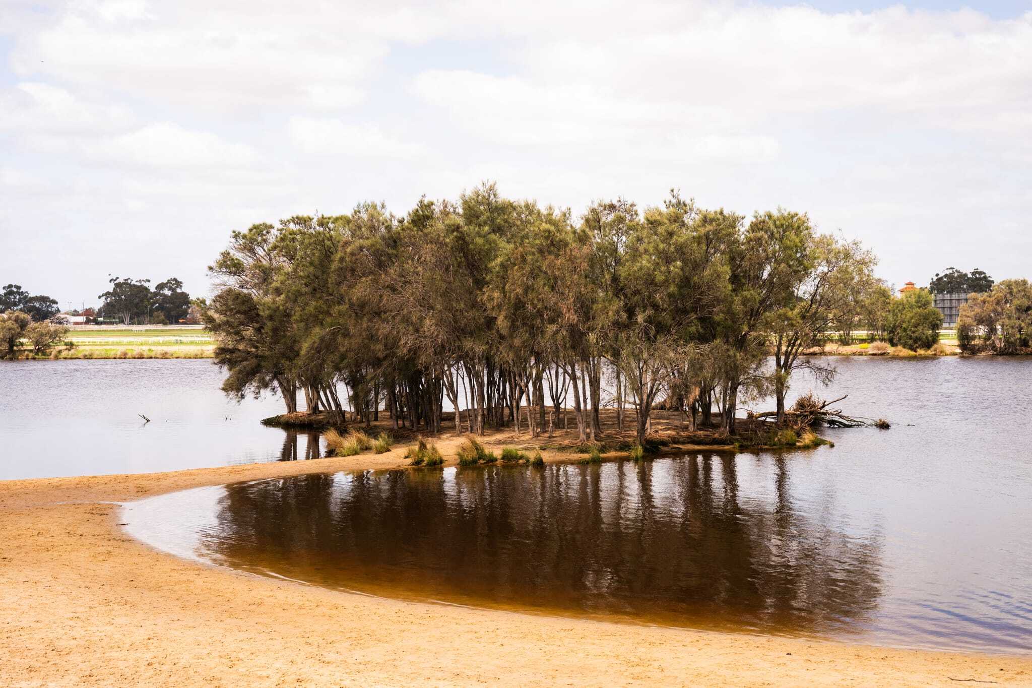
An area of Birralyn now known as Riverside Gardens
Birralyn is a placename that refers to the area now known as the Bayswater foreshore, near where the Tonkin Highway crosses the river.
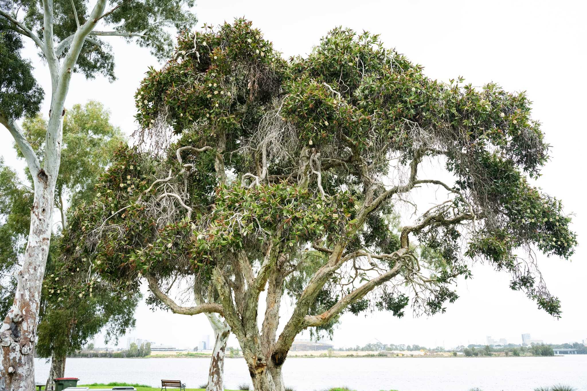
The advisory group discussed the importance of this site for Noongar people because they used the cones from the banksia trees located here to transport smouldering embers from one campsite to another.
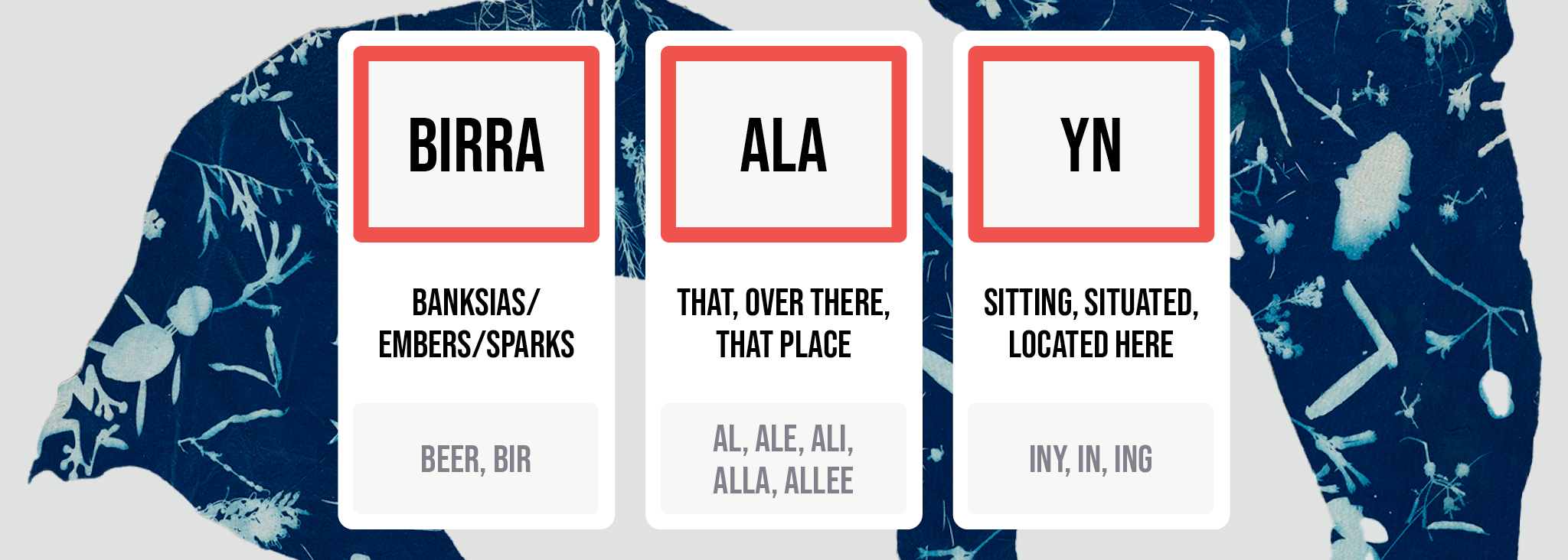
The placename Birralyn has been translated as embers/sparks of the banksia that are located over there.
Courtesy of Community Arts Network
Cole Baxtor
Malgamongup (Bardon Park)
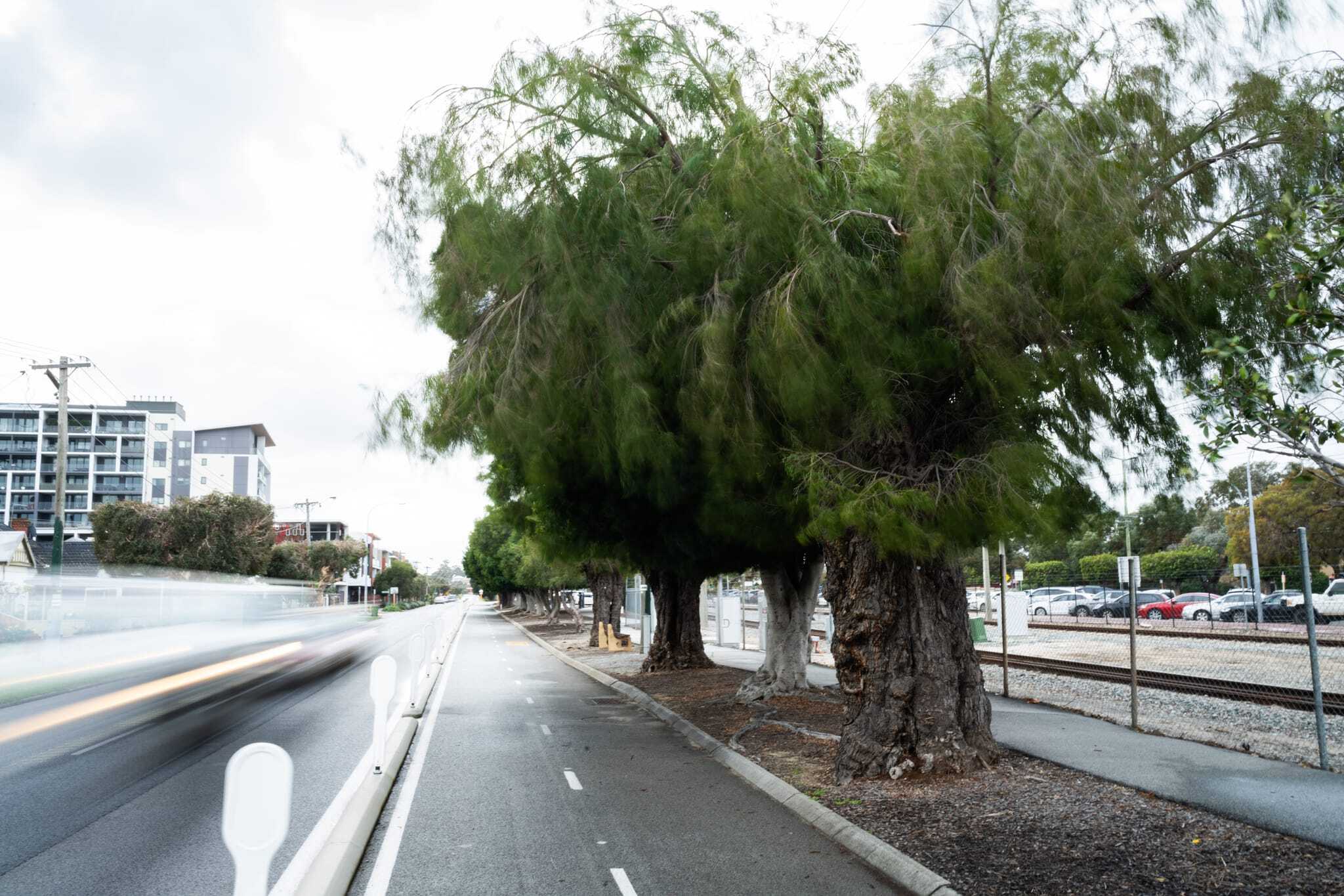
Malgamongup is a placename from the area now known as Bardon Park, located along the river. Traditionally this part of the river is called Warndulier.
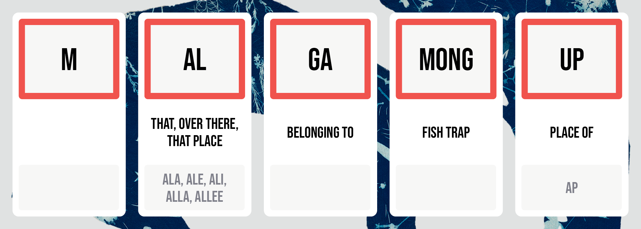
The advisory group observed that the area around Malgamongup was an important site for fishing for Noongar people, because the bend in the river at this point provides a natural inlet. Fish traps, built of stone or branches and bushes, were placed here, taking advantage of the shifting tides.
During the decoding process Malgamongup was translated as a place of the fish traps.
Courtesy of Community Arts Network
Cole Baxter
Moorordup (Maylands Station)
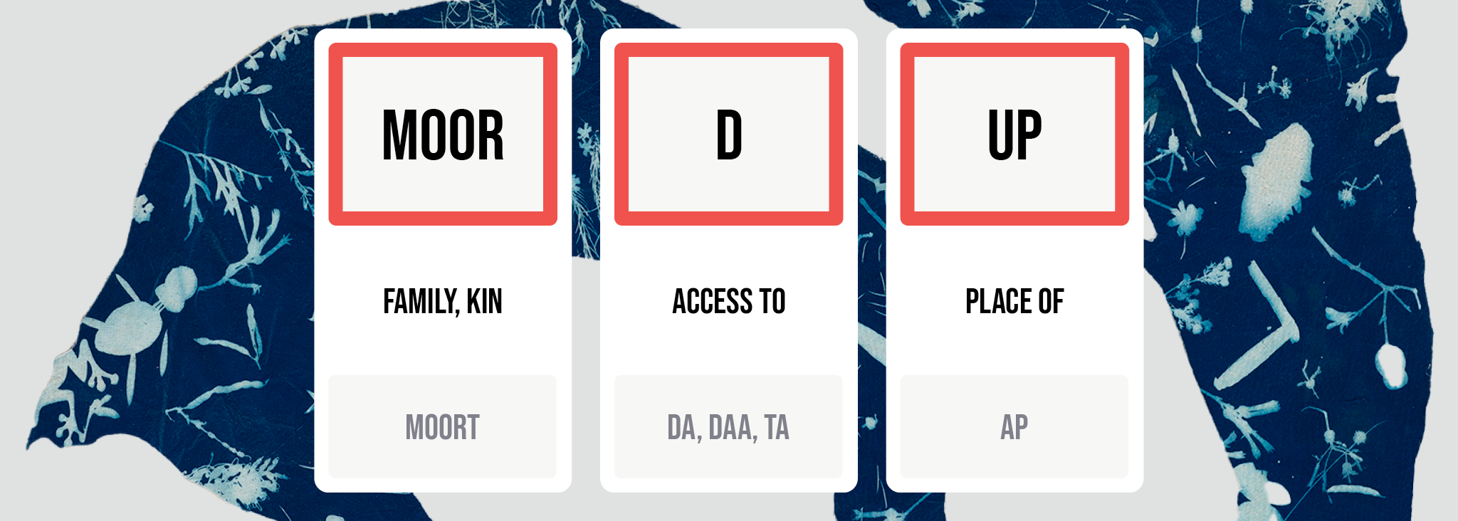
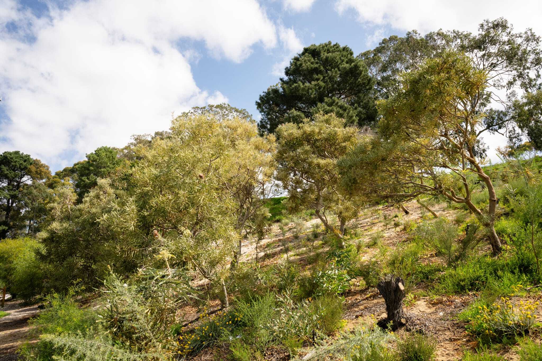
Moorordup is a placename from the area now known as Maylands, and is located where the Maylands train station is found today. Moorordup was a gathering place for the Noongar people who lived in this area, a place for meeting up with family members and friends, for yarning, trading and organising marriages.
The translation of Moorordup is the access to the place of families.
Courtesy of Community Arts Network
Cole Baxter
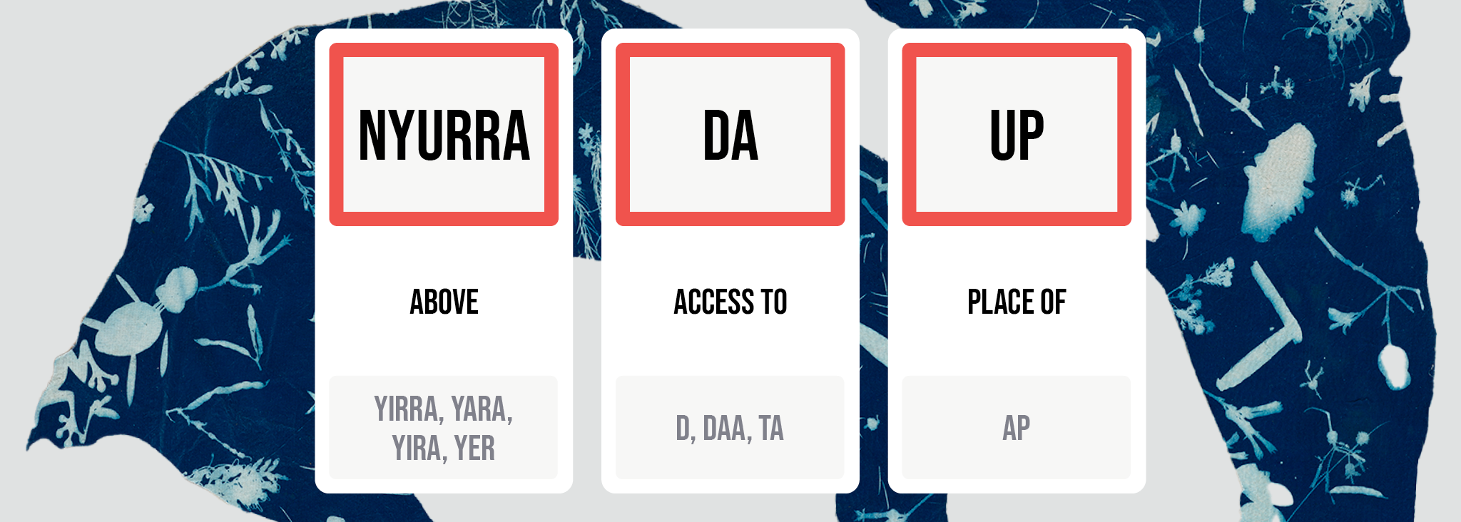
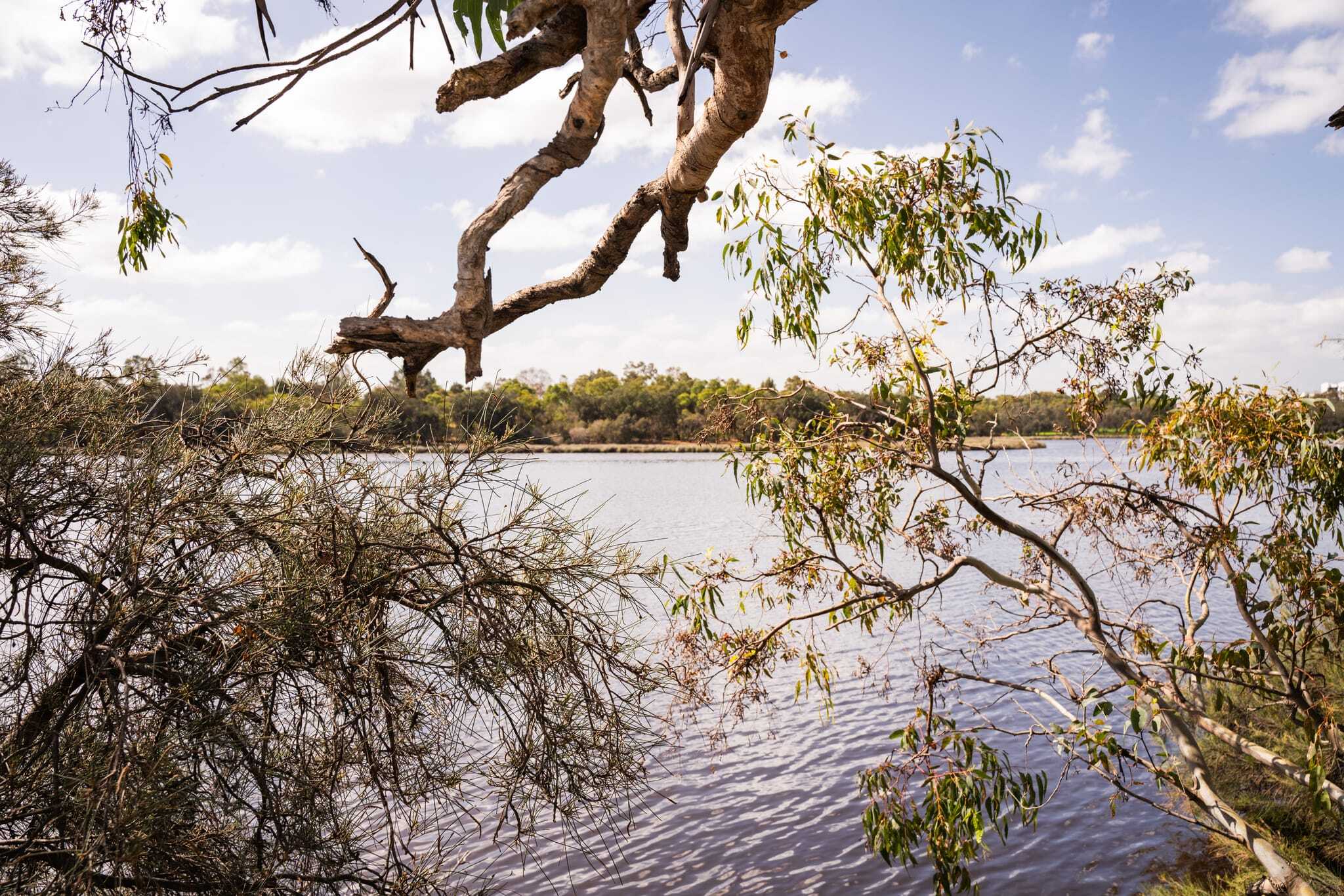
Nyurrdup
Nyurrdup appears on a historical map next to Bayswater train station.
Nyurrdup is located on higher ground and the advisory group discussed how Noongar people moved up to that area as the weather got colder and wetter, and the lower-lying ground became muddy. Nyurrdup was also used as a lookout, for hunting, and for locating others.
While many options were put forward as to what this placename could mean, the group voted unanimously for Nyurrdup to be translated as the place that rises upwards.
Courtesy of Community Arts Network
Cole Baxter
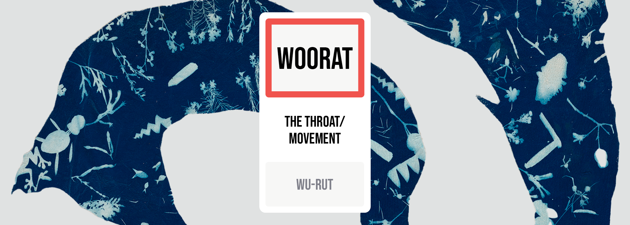
Woorat/Wu-rut (Peninsula Farm)
Located in the area known today as the Maylands Foreshore, Woorat/Wu-rut is land that was taken by colonisers and renamed Peninsula Farm.
Unlike the other placenames decoded during this project, Woorat/Wu-rut was translated as one word rather than a sentence, meaning the throat or movement.
The advisory group noted that the name Woorat/Wu-rut is based on both the shape of the shoreline, which mimics the shape of a throat, and the narrowing of the river at this location.
Courtesy of Community Arts Network
The decoded placenames and their meanings then formed the basis of a cultural mapping process, which saw members of the First Nations community who are connected to the area create a beautiful map charting the area where the placenames are found. During the workshops community members also worked with Yamatji/Native American writer Bruce Denny to record a story about the decoded placenames.
Read more about the cultural mapping process and the exhibition of the artworks created, Birralyn Kaartadjin | Bayswater Knowledge.
Pictured top: Native plants in Bayswater // credit Cole Baxter


Monday – Friday, 9am – 5pm
PO Box 7514 Cloisters Square WA 6850
King Street Arts Centre
Ground Floor
357–365 Murray Street
Perth WA 6000
08 9226 2422
admin@can.org.au
ABN: 72106364407
Copyright 2026 CAN