NEWS
Dive into the ancient meanings of Walyalup’s Noongar placenames
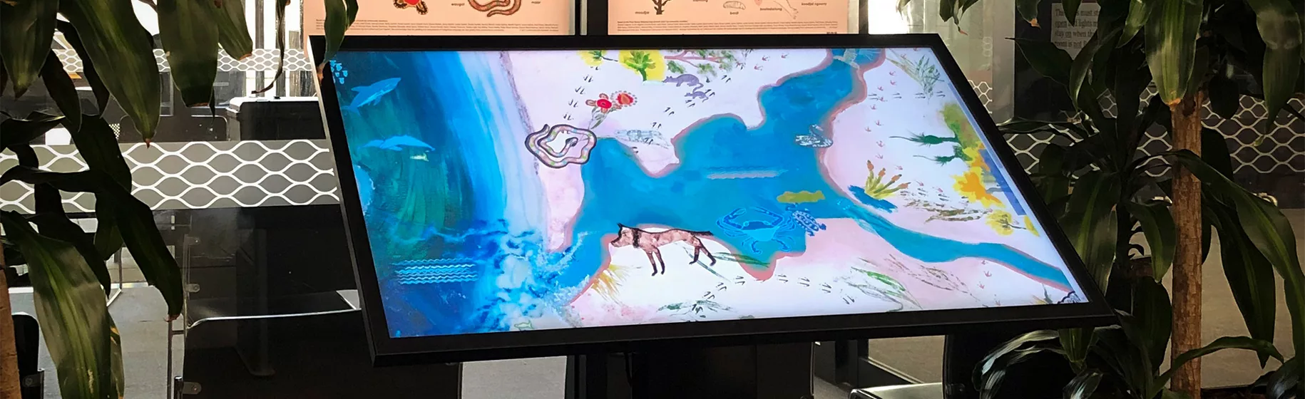
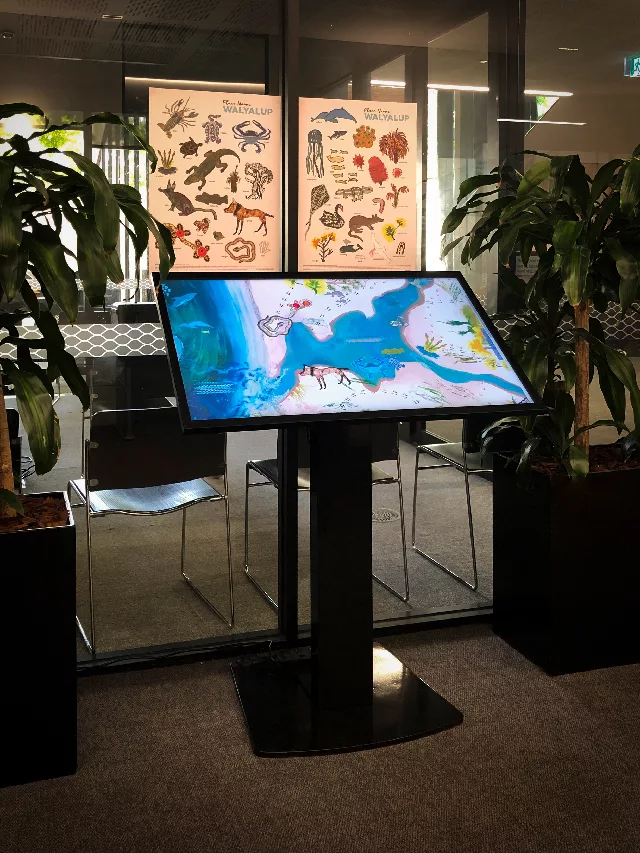
If you’re visiting Walyalup/Fremantle, you can check out the digital interactive Place Names Walyalup Map, now on display at Walyalup/Fremantle Civic Centre, in Walyalup Koort.
This beautiful map invites visitors to Walyalup Civic Centre to learn about Walyalup’s ancient Noongar placenames from Noongar Elders and community members.
By tapping on the map’s animated icons visitors can watch and listen to Elders and community members talk about each Noongar placename, its meaning and cultural significance, and their own stories and memories of that place. Informative and moving, these testimonials were produced by videographer Peter Cheng.
Thank you to the City of Fremantle for partnering with us to share this important resource.
In addition to the map and films, more than 40 artworks were produced and shared with the general public in an exhibition held at Fremantle Arts Centre in 2021 – you can see these works and read about the artists in the exhibition catalogue. The artwork was also used to create a series of colourful and educational Noongar language posters, featuring flora and fauna of Walyalup.
Image supplied by Nina Bower Crook from the City of Fremantle


Monday – Friday, 9am – 5pm
PO Box 7514 Cloisters Square WA 6850
King Street Arts Centre
Ground Floor
357–365 Murray Street
Perth WA 6000
08 9226 2422
admin@can.org.au
ABN: 72106364407
Copyright 2026 CAN